In the evolution of civilization, the geographical environment often plays the role of "underlying code."
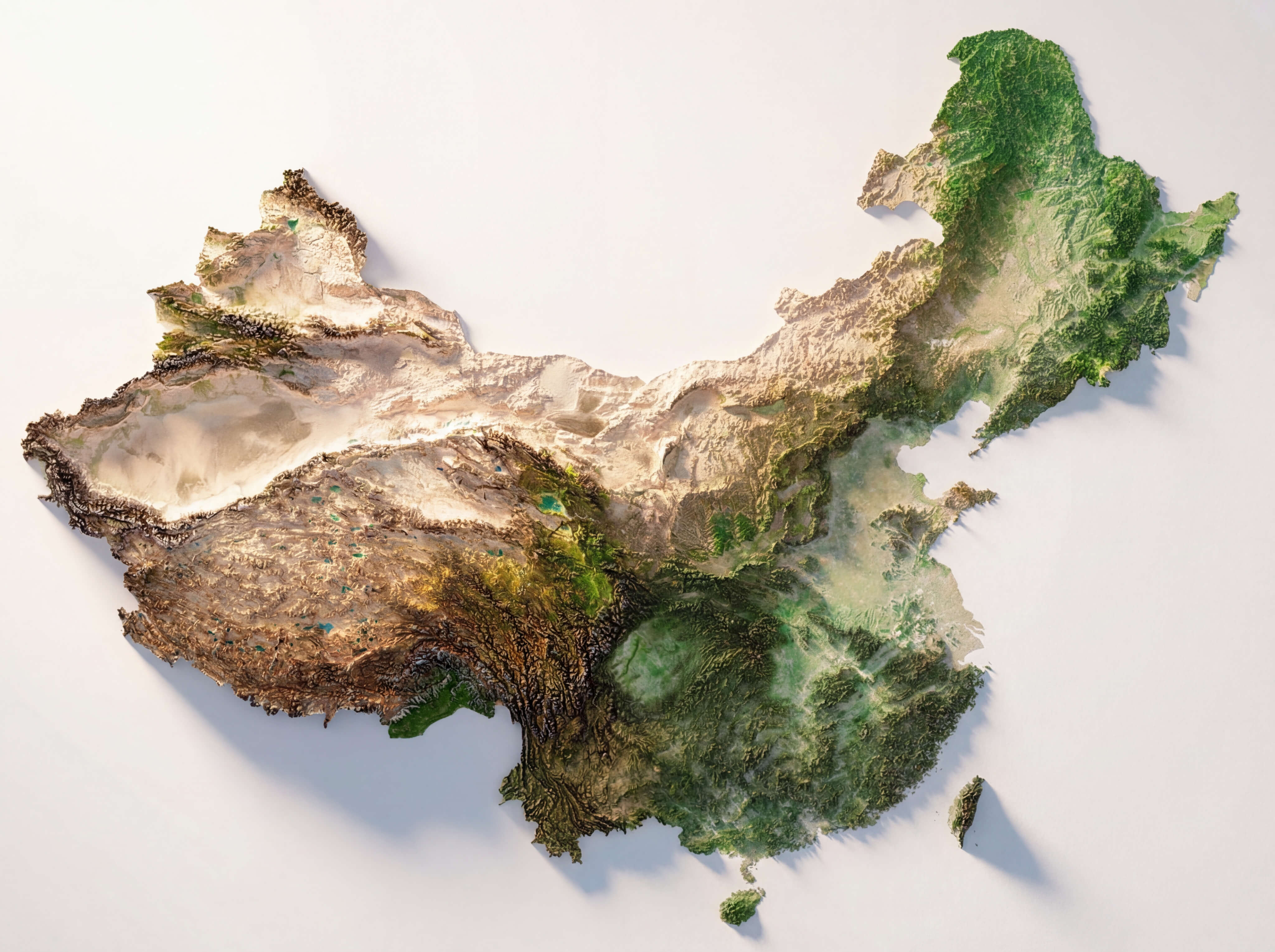
If you open a topographic map of China, you will find that it is not a flat piece of paper, but a piece of deeply folded cardboard. The huge drop from the first to the third step, as well as the dense karst valleys in the southwest, constitute a physical "discontinuity."
This geographical "system resistance" has meant extremely high energy consumption in the past thousands of years: although the straight-line distance between one village and another is only a few kilometers, the cost of collaboration between them is almost infinite due to the obstruction of deep valleys.
Today, China's bridges spanning the sky are essentially a large-scale "patch update" of this civilization system at the physical level, aimed at smoothing out these natural geographical divides.
I. Breakthrough in the Vertical Dimension: Reducing Internal System Losses
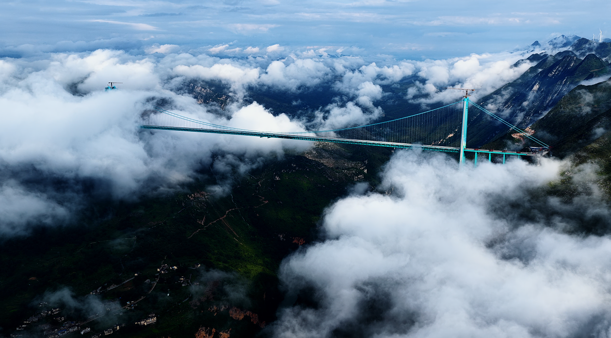
In Guizhou, the Huajiang Canyon Bridge is spanning the "Earth's Rift" at a height of 625 meters.
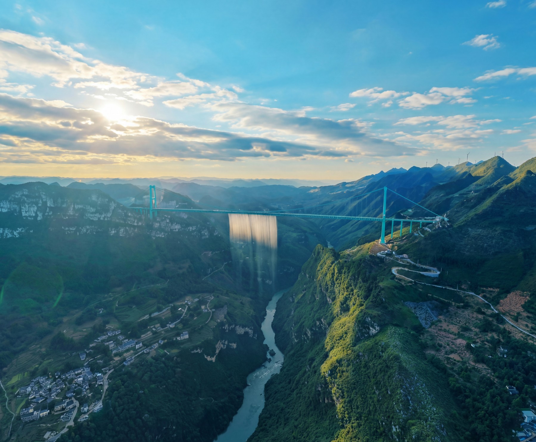
If social operation is compared to electric current, then a canyon hundreds of meters deep is a huge resistance. In the past, crossing the Huajiang Grand Canyon might have required hours of winding mountain roads, but after it opens to traffic in 2025, this process will be shortened to a few minutes.
From the Beipanjiang First Bridge(565.4 meters) to theJin'an Jinsha River Bridge, the significance of these "highest bridges" is not to break Guinness World Records, but to forcibly flatten the folds of geography in the vertical space. They reweave originally isolated "isolated nodes" into a unified national energy and information network.
II. Extension of Scale: From "Point-to-Point" to "Surface Integration"
If the high bridges in the southwest are for "overcoming obstacles," then the long bridges in the east are for "increasing density."
The Danyang–Kunshan Grand Bridge, with a total length of 164.85 kilometers, does not cross mountains and rivers, but floats above the dense water network of the Yangtze River Delta. In the eyes of Western observers, this may be an incredible project. But logically, it is more like an elevated physical bus.
It allows high-speed railways to no longer be restricted by ground river networks, swamps, and farmland, thereby achieving the highest efficiency of flow in the most geographically complex areas.
The Hong Kong-Zhuhai-Macau Bridge(55 kilometers) goes a step further. Through the systematic integration of bridges, islands, and tunnels, it reorganizes the three economic subsystems originally divided by water into a highly coupled collaborative network. This "cross-sea integration" is essentially aspatial reorganization achieved by the civilization system through technical means in the face of spatial separation.
III. The Logic of Will: Physical Maintenance of the Dignity of Survival
The completion of some bridges is more like a logical counterattack against "random obstacles" in nature.
The Sidu River Bridgein Enshi, Hubei, which has cliffs on both sides, even used rockets to toss the pilot rope. In the Dehang Grand Canyon in West Hunan, theAizhai Bridge completed a magnificent crossing in an extremely narrow space.
These so-called "impossible projects" contain a simple civilizational contract: not to let any geographical unit fall off the line due to topographic obstruction.
This conquest of rugged terrain is not arrogance towards nature, but the maintenance of the right to survival of every micro-individual. When the bridge is built, and agricultural products from remote mountain areas can enter the global market with the lowest logistics losses, this physical "connection" is transformed into social "dignity".
IV. Conclusion: Returning to the Integration of Space
When we see Chinese bridges frequently breaking world records, we should not only regard them as engineering miracles.
This is actually an ancient civilization using technical means to conduct a "logical formatting" of the geographical environment. For a long time, those folded mountains and rivers, and deep canyons, have been the biggest source of friction within the Chinese system.
Now, from the Hutong Yangtze River Bridgewith a main span of 1,092 meters to the soon-to-be-bornChangtai Yangtze River Bridge, these projects are transforming the originally "fragmented" geographical obstacles into smooth physical channels.
This is not expansion, but sewing the folds of the earth. Through these bridges, China is returning its vast territory to an efficient, connected, and highly consistent normalized state.